

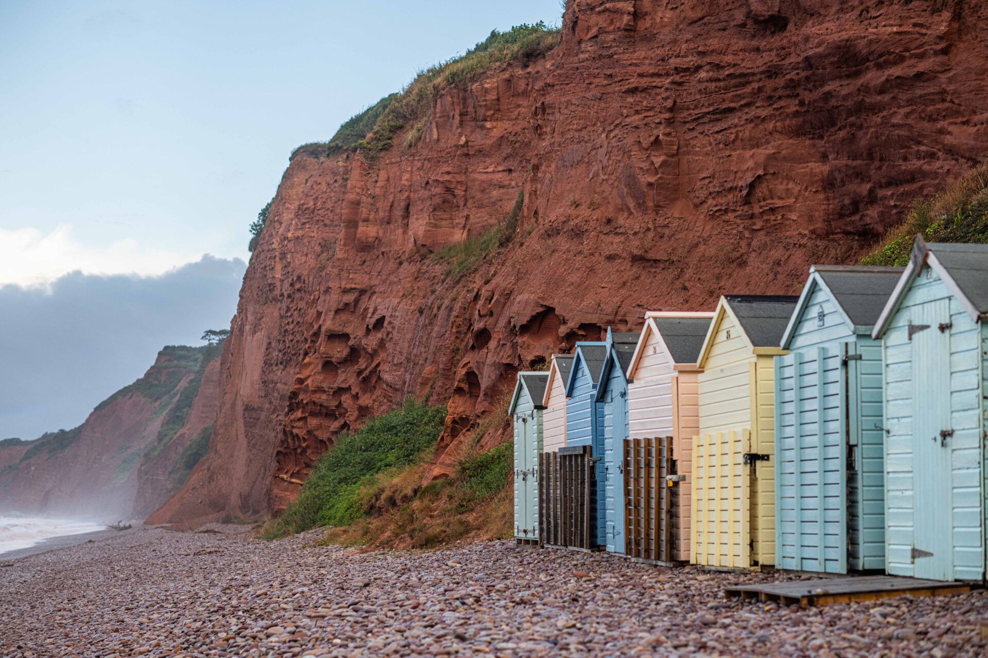
Leading you inland from the coast at Budleigh Salterton to Newton Poppleford close to the East Devon Way, this mostly flat riverside route provides a wonderful relaxing opportunity to explore the Lower Otter Valley, The Lower Otter Restoration Project and watch a wide range of water birds from a number of viewing platforms. You may even be lucky enough to catch a glimpse of one of the beavers that have been in the area since 2008. If not, you will certainly see signs of their building work.
There are several shops and refreshment stops along the way where you can sample local produce and drinks.
Additional Information
Newton Poppleford’s claim to fame is the King Alfred daffodil which was bred by the Hill family and received an RHS Gold Medal in 1899. The original daffodil field has now been built over, but groups of bulbs were planted around the village and can be seen flowering every March.
Directions
1 - 5 . With your back to the sea, leave the Lime Kiln Car Park ...
…via the metal footbridge in the far right corner – signed Coast Path Ladram Bay and Sidmouth. Turn left after the bridge and follow the footpath north through the Otter Estuary Nature Reserve. There are a number of viewing platforms from where you can watch a wide variety of water birds.
2. Go straight across the road and continue to follow the footpath north towards East Budleigh and Otterton.
3. Go through the gate and, at the path junction, bear slightly right (straight on) along the footpath to Otterton. Go over the track bridge and, where the path divides, bear left through a wooden pedestrian gate to follow the raised footpath.
4. When the bank begins to bear left, turn diagonally right along a footpath to a wooden pedestrian gate onto the riverside path. Turn left and walk past the footbridge on your right.
5. Go through the wooden kissing gate and follow the riverside path north to Otterton. ields to Back Lane.
6 - 10. Go straight across the road, down the steps and through the wooden kissing gate.
Follow the footpath over the track bridge and alongside the river towards Colaton Raleigh.
7. Go past the footbridge on your right and continue to follow the footpath alongside the river.
8. At the path junction turn left and follow the fenced footpath across the field.
9. Go straight on, following the footpath through two kissing gates on either side of a track and another gate alongside a cattle grid to reach the end of the minor road through Colaton Raleigh.
10. Follow the road for approx 164 yards/150 metres then turn right along the public footpath signed to Dotton and Newton Poppleford. Follow the hedged track as it winds its way to a junction of paths.
11 - 15. At the junction of paths continue straight on through a field alongside the hedge on the right.
12. Go through the kissing gates on either side of the track and follow the footpath through a field, staying alongside the hedge on your left.
13. Go through the kissing gate and follow the footpath down through woodland and alongside the River Otter on your right to a metal 2 in 1 gate.
14. Go through the 2 in 1 gate and follow the track for a short distance to a car park. Turn right through a gate and along a footpath signed to Newton Poppleford.
15. Go through the gate and continue to follow the fenced footpath through fields until you come to a second gate.
16 - 17. Go through the gate and turn left along the permissive footpath. Follow it to a minor road.
17. At the road turn right and follow it into Newton Poppleford. After approximately 262 yards/240 metres turn left along a road to reach the public car park.
From here you can follow the Newton Poppleford to East Devon Way Link to join the East Devon Way near Harpford Bridge.
This route was originally developed by James Baldwin and checked by Ted Swan. It was reviewed and updated in 2026.