Start your adventure from the far west end of the East Devon Way, following a charming path from Lyme Regis to the charming market town of Colyton.
This scenic trail guides you past three beautiful rivers, an ancient castle, and a striking viaduct. It ends in Colyton, a historic town where you can unwind and grab a bite. Get ready to discover the natural beauty and rich history along this enchanting path.
Details:
- Distance: 9 miles / 14.4km (approx.)
- Start: The Square, Lyme Regis
- End: Dolphin Street Car Park, Colyton
- Map: Explorer 116, Landranger 193
- Time: Est. 3 hours
- Level: Easy
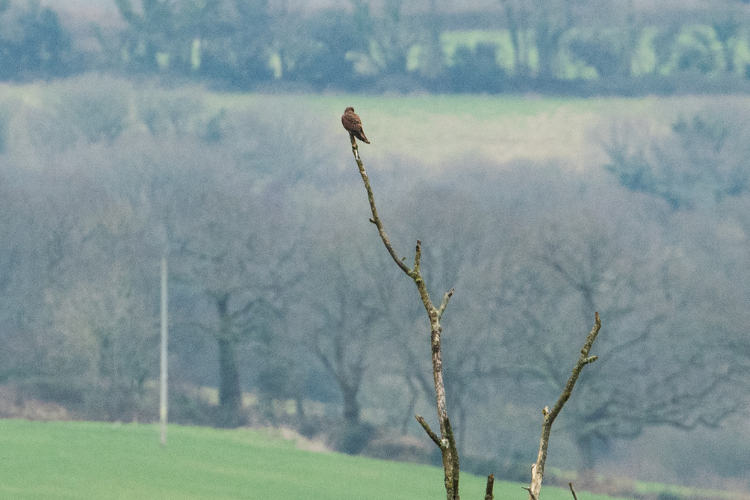
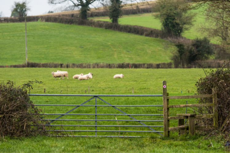
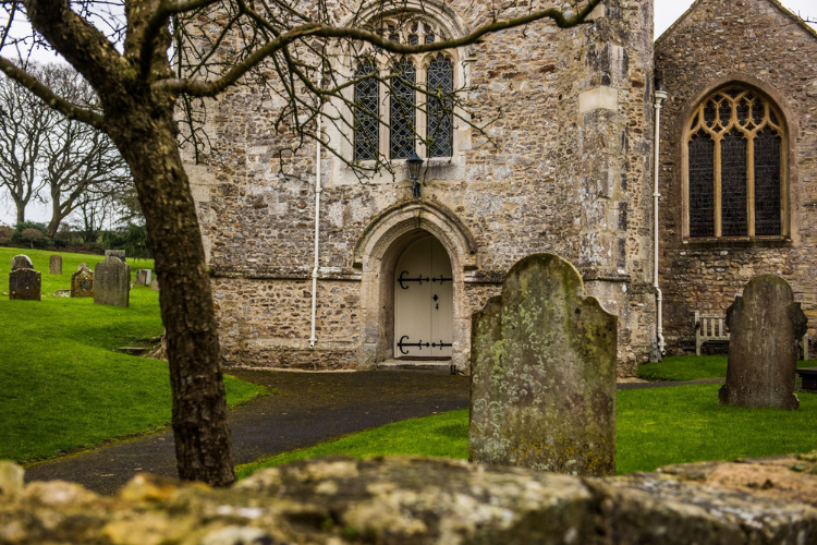
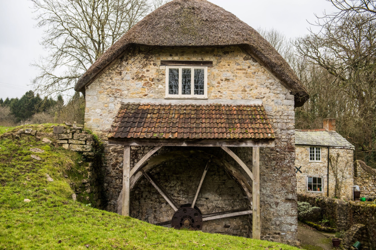
Views along the route:
Route map
Route details
Follow the Markers

The whole of the East Devon Way has been waymarked with the foxglove or pink arrow markers to help you find your way.
Quick view route description:
Lyme Regis to Colyton
|
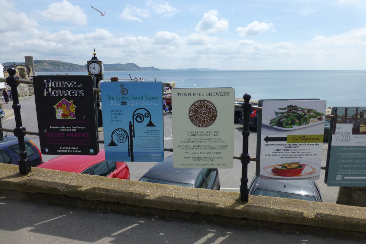
1. Starting at the bus stop, with your back to the sea, cross the road into Broad Street car park, continue up the ramp and under the sign to the Town Mill. Go down the steps, across the cobbled courtyard, past the Town Mill and immediately left at the end of the Mill frontage into the narrow Mill Lane (by Old Lynch house), which then follows a path between the river Lim (or Lym) and the mill leat. You will be following the Lim upstream for the first 1½ miles to Uplyme; for the first mile until you leave Dorset, the signposts are for the Wessex Ridgeway. Go straight over Mill Green [NB not Mill Green Lane] with pretty cottages on either side, with the river on your right, as you walk along the footpath. |
2. Cross over the road to Windsor Terrace with the river now on your left. At the stone bridge you will see a sign pointing ahead saying ‘East Devon Way 1 Mile’ (actually, it’s only ½ mile).Fork left from the track on to a path to stay beside the river. Go through a gate, across a field and cross a footbridge. You are now in Devon, and the East Devon Way starts. Go left, past an old water mill and left up the track. At the end of Mill Lane go straight over through the leafy glen, still following the river. The path leads towards Uplyme village shop, petrol station and playing fields. You emerge at the busy B3165 road, with the Talbot Arms pub on your left. Cross the road and keep to the left of the village hall. Walk along the boundary of the cricket ground, then bear left up to the top of the hillside until you reach a gate. Go through the gate, then left slightly downhill on a tarmac lane.
|
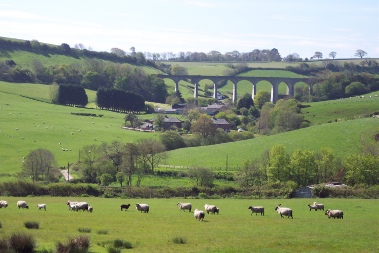
3. Turn right at the sign saying ‘Wadley Hill’ and continue up Woodhouse Lane for ¾ mile.Pause for a moment opposite the bridleway to see a great view of the Cannington disused railway viaduct over to your left. At the top of the hill, turn left along a public bridleway until you reach a gate with the bolt fitted into a tree trunk. Go through into the field, continue on down a grassy lane, and at the end cross over Trinity Hill Road. Walk downhill though a field, turn right and then immediately left on a stone bridge over the disused Axminster to Lyme Regis railway, signposted ‘Musbury 2 miles’. Continue on this tarmac lane for ½ mile.
|
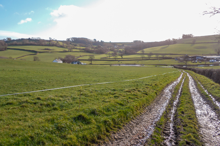
4. At Bulmers Cross on the top of the hill, turn left downhill, past Woodlands Farm, then immediately left and then right on the stony lane.Where the lane swings left again, go straight ahead though a gate. This path used to be an old drovers trail. It leads downhill though a few fields, keeping the stream on your left. In the distance you will see the white Higher Bruckland farmhouse which we will be heading towards. Enjoy the wide-open vistas of the rolling fields surrounding you.
|
5. One field past the farmhouse, turn right on to a footpath where we now head steeply uphill to Musbury Castle.Head towards the copse of trees, keeping it on your left, then after the copse head diagonally left to the top of the field and through a gate. Go up three steps, though a field and through another gate with a National Trust Musbury Hill sign, into the woodland. At the end there is a five-bar gate and a kissing gate.
|
|
5 cont. Continue downhill to the north west, looking at the fine views of the surrounding countryside and Musbury Church below.Go though the gate aiming towards the farm track diagonally right of the bushes ahead across the field. Turn left on to the farm track and look to see the sea on your left. Walk down though the small village of Musbury with its school and St Michael’s Church. At the main A358 road is a village shop in the petrol station on the right, and the Golden Hind pub on the left.
|
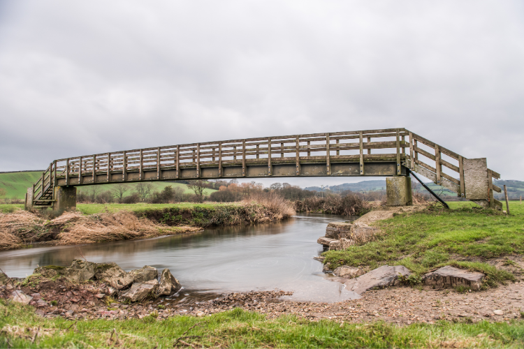
6. At the cross road, cross straight over the main road (A358) with the farm on your left, go through a small gate into what seems like a private garden. Emerge into a large field. Keep near to the hedge on your left, then go left at the end, through two metal gates.Follow the hedge on your right and then turn right across a little wooden bridge, keeping the hedge on your left in the next field. At the gate turn right along the track, then sharp left along Waterford Lane past Waterford Farm. At the end of the tarmac lane turn right into the field and go over Nunford footbridge across the River Axe. Once over the bridge, follow the hedge line near the river on your right then cross a stile into woodland (the path here is prone to flooding).
|
7. Follow the track and, soon after passing a footpath sign on your right (which you ignore), turn left over the stile into a field. Once through the next gate the river will be curving round to your left; walk diagonally towards the bend in the river.Go though the gate at the bottom, then come away from the river and head diagonally right across a large field, crossing a small bridge in the centre and head for a stile. Over the stile, turn left (where it can be very muddy). Follow the hedge line, keeping the hedge on your right and the river on your left. Follow the farm track and at Lower Cownhayne Farm turn left along Cownhayne Lane. |
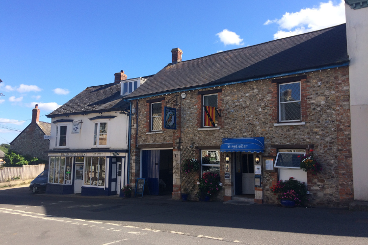
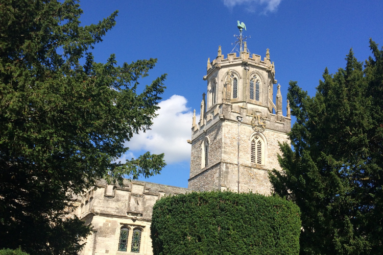
8. After 1/4 mile, turn right over the stile into the field. Keep the hedge on your left, and climb the steps of the Seaton Tramway train tracks.Cross the track and down the other side, then go right (parallel to the tramway for a short distance) before heading diagonally left towards the lower left corner of the field. Shortly you will see the town of Colyton in front of you with its unusual lantern church tower. When you reach the River Coly, turn right along the bank, then cross it by the footbridge.Take the well trodden right fork diagonal footpath, then though some industrial buildings to reach Colyton. Turn left at the road with the river on your right. The East Devon Way continues close to the river along Rosemary Lane, but turn left up Dolphin Street to explore Colyton Town Centre and reach the end of this stage of the walk.
|
Quick Links

More to Explore

Our National Landscape Projects
We lead, partner and support projects that focus on a wide range of themes, including landscape and heritage, environmental quality and climate, biodiversity, recreation and tourism.

Outdoors & Active
Whether you prefer walking, cycling, running or playing, everyone feels happier and healthier when they spend time in nature being more active.

East Devon Way
Discover the hidden gems of East Devon and explore this much loved walking route that links 40 miles of public footpaths, trails and bridleways.