

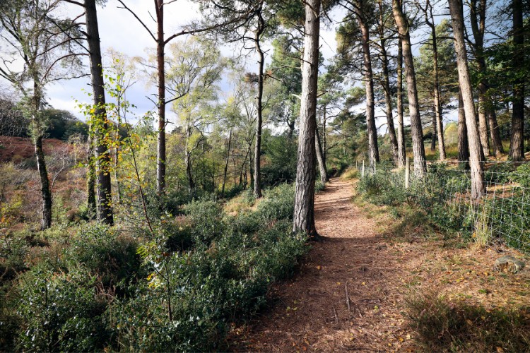
The East Devon Way is a spectacular 40-mile regional route that journeys through the heart of the East Devon National Landscape’s historic villages and rolling countryside. Most of the paths are managed by Devon County Council since they follow rights of way and the route is promoted by the East Devon National Landscape.
The East Devon Way is also supported by a network of circular walks and link routes connecting local towns and villages to the main path.
To ensure the trails remain an enjoyable experience, we recently conducted a thorough audit of the entire main route, as well as its complementary circular and link paths. This highlighted several areas for improvement, and our team is working to implement some upgrades to their navigation and promotion.
If you are planning to explore the East Devon Way soon, you may spot new waymarkers or notice changes to the route. Please read our latest progress updates below to help you plan your journey.
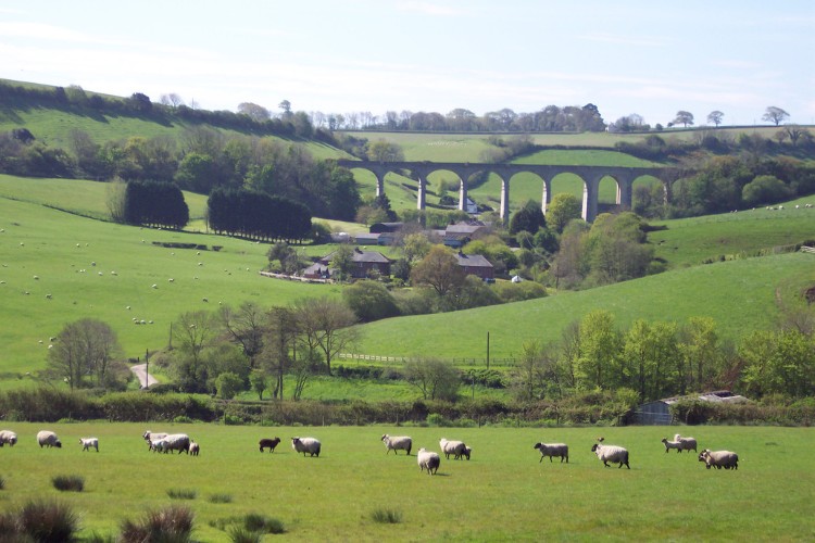
Major Changes to the East Devon Way Regional Route
Section: Exmouth to/from Woodbury Castle
To improve safety and walker enjoyment, we are rerouting this section away from busy roads. The new route heads east along Exmouth main beach area and follows the South West Coast Path along the coast before heading north across Dalditch and East Budleigh Commons. This change offers a much more peaceful and scenic start (or finish) to your journey.
- Latest Progress (30th July 2026): Waymarking on the ground and digital guidance is up to date.
- Advice for Walkers: Please note that Ordnance Survey (OS) maps will take some time to reflect these changes during their standard review cycles, but we are working to get this updated as quickly as possible.
Section: Musbury Castle
Rather than skirting around the base of Musbury Castle, the East Devon Way now takes walkers directly over the top of the hill. This adjustment offers incredible, panoramic views of the Axe Valley on a path that is better maintained and far more rewarding.
- Latest Progress (End of May 2026): Waymarking on the ground and digital guidance is up to date.
- Advice for walkers: Follow the waymarking or our digital route guidance.
New 4-Stage Route Structure
To make trip planning seamless, we are restructuring trail into four distinct stages. Each stage has been carefully designed to start and finish in or as close to established local settlements as possible. By anchoring the stages in these communities, it will be significantly easier for walkers to coordinate public transport links, arrange overnight accommodation, and access local amenities along the way.
- Latest Progress (End of July 2026): Waymarking and digital guidance now up to date. New physical guides are in development – likely to be available by March 2027.
New Link Path from Honiton
Following our recent audit, we identified a great opportunity to better connect major gateway towns and public transport hubs—particularly the rail network—to the National Landscape. In response, we designed a brand-new link route connecting Honiton directly to the East Devon Way.
- Latest Progress (End of July 2026): We installed the physical signage for this new route over the winter. Unfortunately, subsequent exceptionally heavy rainfall severely impacted the path, making it entirely unnavigable. As a safety precaution, Devon County Council has temporarily closed a section of this route near Offwell. We are collaborating closely with them to repair the physical path and reopen it as soon as possible. Reopening timescales are yet to be confirmed, so please avoid this link route for the time being. We are likely to do the physical paths improvements over the Autumn/Winter 2026.
Reviewing Circular and Link Route Directions & Accessibility
There is nothing more frustrating than setting out on a walk only to find that the route descriptions or accessibility details are out of date. We want you to step out with confidence, so we are currently auditing, reviewing, and updating the information for all 25 complementary circular and link routes.
- Latest Progress (End of July 2026): We have successfully reviewed and created brand-new GPX files and instructional leaflets for all circular and link routes, which are now live on our website. Work is well underway on the remaining link routes.
- Advice for Walkers: Enjoy the up-to-date route information and signage.
Thank you for your patience while we work to make the East Devon Way better than ever.