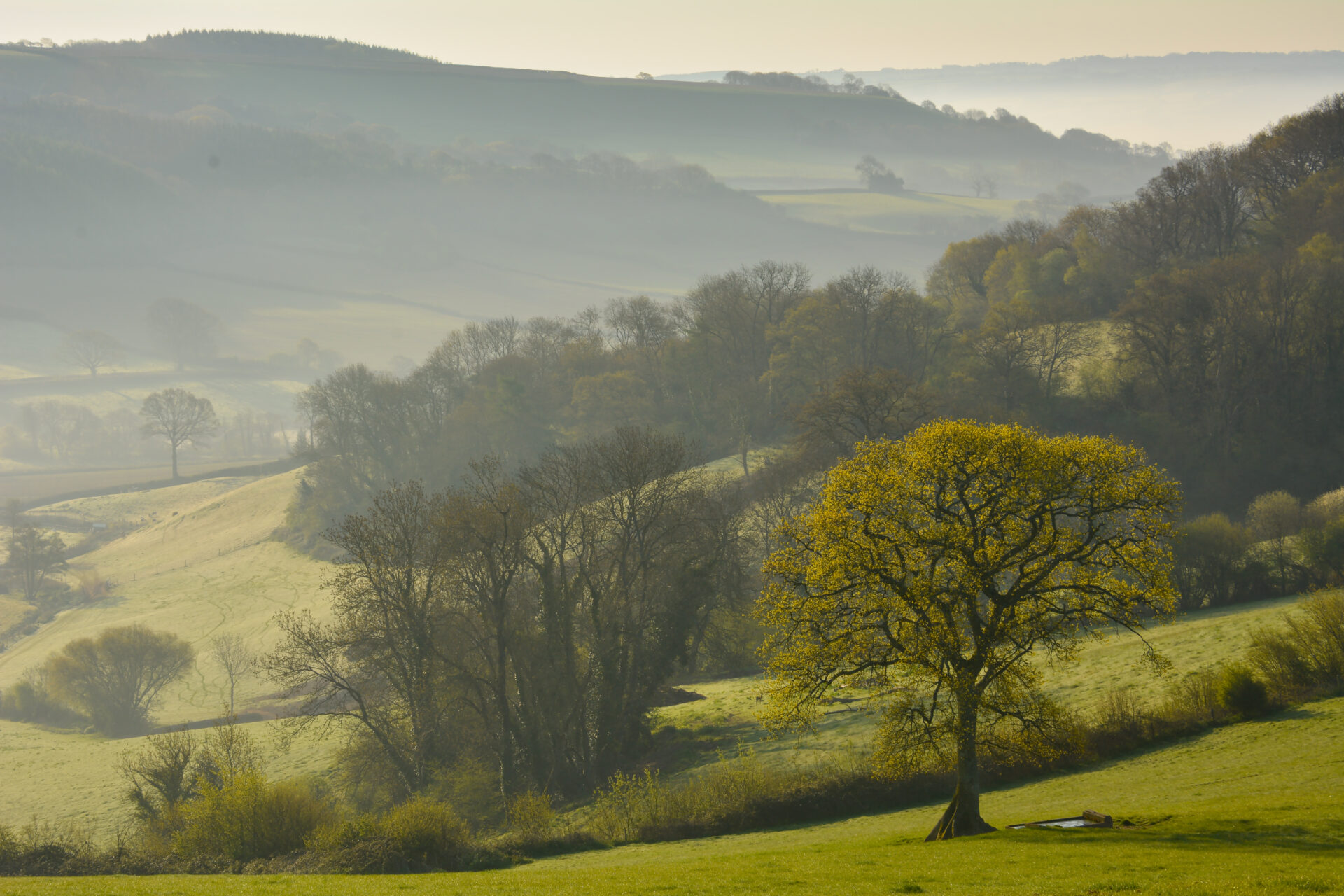
Leaving Kilmington, this route climbs through woodland and takes you past the late Palladian Shute House, before descending to the valley of the Umborne Brook and a range of hidden habitats including fields and unimproved marshy areas rich in wildlife. It joins the East Devon Way at the historic Chantry Bridge on the edge of Colyton.
Look out for wetland flowers, particularly in the unimproved areas, including orchids and kingcups. The area also supports many birds and mammals that favour woodlands, hedgerows and river margins. Prints in patches of wet mud will give you an idea of what has been there before you, maybe a wader or even a badger. If you’re particularly lucky you might spot the ghostly shape of a barn owl hunting over the fields and wetlands during the day.
Additional Information
Kilmington has been in existence for over a thousand years with a mention in the Domesday Book in 1087 when it was known as Chinemetona. In more recent times it has benefited from the philanthropic activities of a Victorian gentleman who built himself a house in the area and had a particular interest in cricket. Arthur Hitchcock had a cricket pavilion constructed in 1910 which has since been replaced, but the Arthur Hitchcock Charity continues to maintain the recreation ground for the Parish of Kilmington. A Monteray Pine was planted in the playing fields by Arthur Hitchcock and is thought to be nearly 100 years old.
New Shute House is a late Palladian house built in the grounds of the old Shute House between 1785 and 1789. It was once the scene of lavish parties and the future King George IV is thought to have visited in late 1789
The circa 18th century Chantry Bridge was built of stone rubble and has three spans with segmental ashlar arches and cut waters on both sides. The parapets also have refuges for walkers.
Colyton, now a market town with a range of shops and places to eat, was reputedly one of the first Saxon settlements established in Devon. It is known as ‘the most rebellious town in Devon’ due to the 105 local men and boys who supported the Duke of Monmouth in the Monmouth Rebellion, a plan to overthrow the King James II in 1685.
Directions
1 - 5. Start near Kilmington Church and Village Hall
Head south and take the first right just before the bridge over the stream into The Street.
2. Follow The Street ignoring all side turnings until it bears left into Silver Street. Turn right (straight on) into Springfield Lane.
3. Continue along Springhead Lane until you come to the end of the road by a stream. Take the bridleway past the stream and follow it through the woods.
4. At the road turn left and follow it to a grassy space with a seat. Turn right and then go straight across onto a footpath along the tarmac drive to Shute House.
5. Where the drive divides keep right and walk past the front of the house. Shortly afterwards follow the footpath signs and turn left down a tarmac drive and then right along a path and follow it down the slope.
6 - 10. 6. Cross over the stile then head straight across the field
and go through the kissing gates on either side of the track. Go diagonally right gently uphill and climb a stile onto a farm track.
7. Turn left down the farm track and follow it through the fields until you come to a stile. Climb the stile and continue to follow the footpath staying close to the hedge on your left until you come to a road.
8. Turn right along the road to Seaton Junction. At the old station you will find a footpath on the left going over the footbridge over the main Waterloo to Exeter line.
9. Cross the footbridge then follow the footpath through a gate into woodland and on to a stile into a field.
10. The public footpath heads diagonally right down the field to a gate. After the gate turn left and walk past the farm with the house on your right and up the concrete drive. An alternative route goes straight across the field to a stile out onto the concrete drive.
11 - 15. Go through a gap in the hedge on your right into a field.
Head diagonally right down the field and over a footbridge.
12. Turn left and follow the footpath through a marshy area to a footbridge over the Umborne Brook. Cross the bridge and turn left to follow the path downstream parallel with the brook.
13. Cross a stile and continue to follow the footpath staying parallel with the tree lined brook on your left until you come to another footbridge.
14. Cross the footbridge and head diagonally right across the field to a stile in a wire fence. Climb the stile and continue diagonally right across the next field to another footbridge.
15. Cross the footbridge and turn left along a narrow path through woodland. Follow it over a ditchboard and on to climb a stile into the fields. Turn left and follow the hedge on your left.
16 - 20 Go over the ditchboards and through a pedestrian gate into the next field.
Continue to follow the hedge on your left to cross more ditchboards and a stile into the next field.
17. Leave the brook and head diagonally up the field. Pass to the right of the telegraph pole and through the metal footpath gates on either side of a farm track.
18. Cross the field diagonally to the left to a stile out onto a minor road. Turn left downhill along the road ignoring side turnings to join the East Devon Way at Chantry Bridge.
19. From Chantry Bridge you can follow the East Devon Way east into Colyton for refreshment. Alternatively you can turn right just before the bridge and follow the East Devon Way west towards Farway. Approx 0.6 miles/1km upstream you will also meet the Link Route to Beer
This route was originally developed by James Baldwin and checked by Ted Swan. It was reviewed and updated in 2025.