

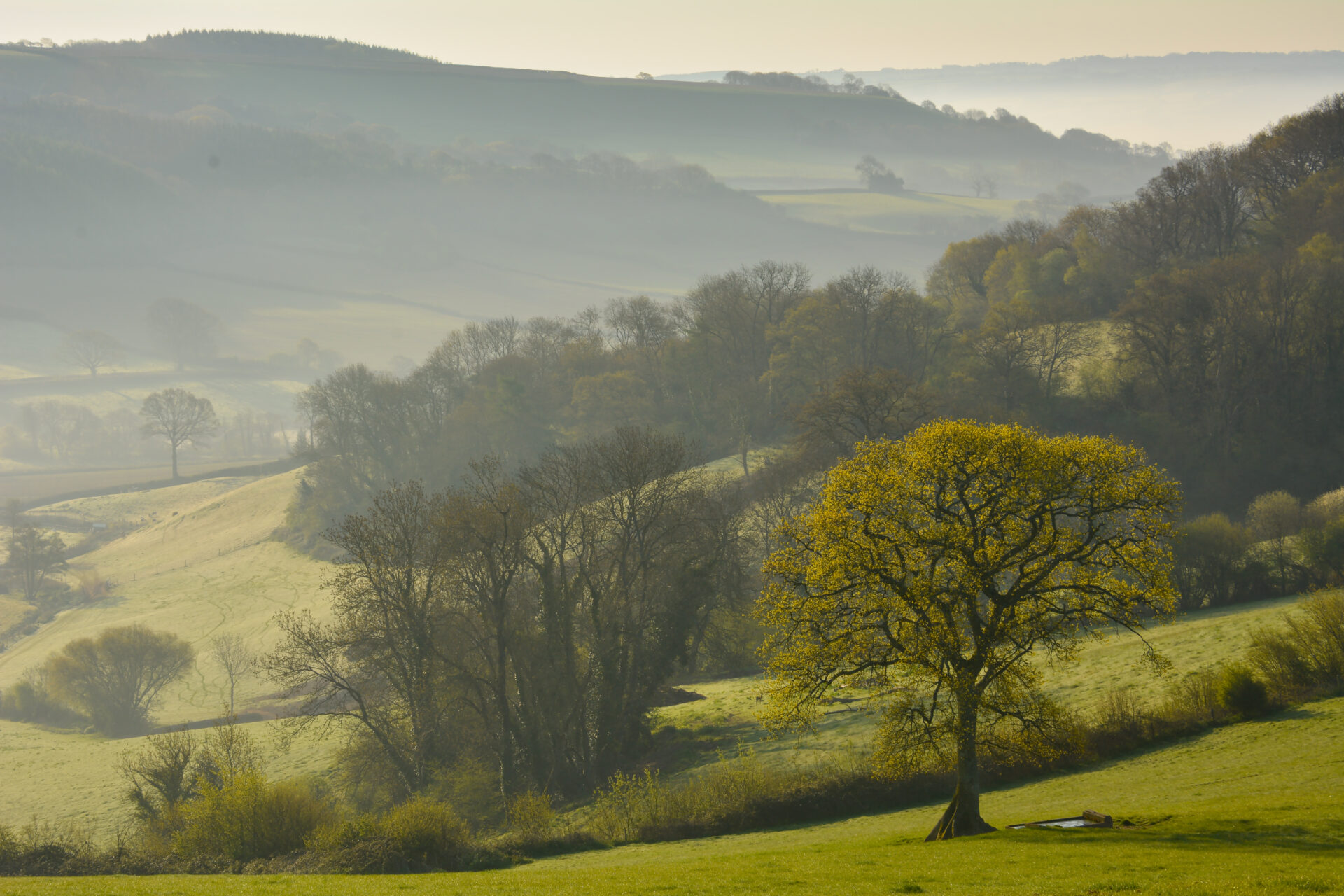
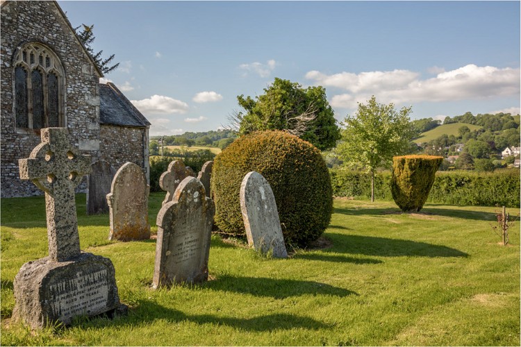
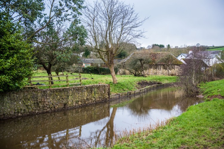
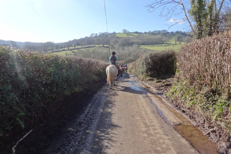
Starting through peaceful meadows alongside the River Coly, this section of the route then follows quiet country lanes as it climbs up through the historic villages of Northleigh, Farway and Church Green to reach the highest point at Farway Hill. Here there is the earthwork of Farway Castle, an Iron Age farmstead and also a round barrow cemetry from the Bronze Age.
Enjoy the views before dropping down through Knapp Copse Local Nature Reserve and the hidden woodlands of the Roncombe Valley to Sidbury.
Additional Information

The whole of the East Devon Way has been waymarked with the foxglove/pink arrow markers to help you find your way.
Gallery
Quick view route description:
1 - 5. From Station Road near Umborne Bridge...
…head to the end of River Mews and turn left along Dolphin Street and take the first right along Rosemary Lane.
2. Continue ignoring all side turnings to a T-junction and turn right.
3. At the next junction turn right and follow the road over a bridge. Immediately after the bridge turn left through a wooden kissing gate onto a footpath alongside the river.
4. Follow the riverside path through a wooden kissing gate and along a tree lined avenue to another wooden kissing gate.
5. Go through the gate, turn left and follow the river to a gated footbridge.
6 - 10. Cross the bridge and follow the footpath across the centre of the field
…. then alongside a hedge on the right and then straight on, then alongside a hedge on the right again.
7. Go through a wooden pedestrian gate and continue alongside the river passing a footbridge. Follow a path through the woods to a metal pedestrian gate.
8.Go through the gate and head straight on across the field on the right hand path.
9. Cross a footbridge and go through a metal pedestrian gate. Continue straight on then bear around to the left on a slight rise heading towards another footbridge.
10. Go through a metal pedestrian gate and over a narrow footbridge and head towards the footbridge. DO NOT GO OVER. Continue straight past crossing a track and following the footpath alongside the river on the left. In spring and summer look out for sand martins in the exposed river bank.
11-15. Follow the riverside path to the end of the field and turn right for a short distance to a gated footbridge.
12. Go over the bridge and turn left to follow the riverside path to the end of the field.
13. Go down a slope through the hedge, over a narrow footbridge and through a wooden pedestrian gate into the next field. Bear left to follow the riverside path to the end of the field.
14. Follow the hedge on the left up the field for a short distance to a wooden pedestrian gate and a footbridge on the left. Go over and head straight across the field to a narrow footbridge and wooden pedestrian gate.
15. Go through and follow the left edge of the field until you come to a gap in the hedge just after an open section of river. Go through and down the bank to a metal pedestrian gate on the right.
16 - 20. Go through and bear left alongside the river before heading straight across the field to the far fence.
…Turn right and follow the left edge of the field around to a footbridge and wooden pedestrian gate.
17. Go over the bridge, turn right and follow the hedge on the right. When the hedge swings right head straight on to a narrow footbridge and wooden kissing gate out onto a minor road.
18. Turn left and follow the road to a junction and continue towards Northleigh, Southleigh and Farwood Cross.
19. At Farwood Cross go straight over towards Northleigh.
20. Follow the road down over a bridge into Northleigh.
21 - 25. At the road junction continue around to the left towards Farway, Southleigh and Honiton.
22. Turn right towards the church and then where the path divides bear left along the footpath, following it between houses to a minor road.
23. Turn right and follow the road. When it bears right downhill turn left along a footpath that follows a track to a field gate.
24. Go through the gate and straight across the field to a metal pedestrian gate.
25. Go through and turn right. Follow the hedge on the right down the field and turn right down some steps and over a stile to a minor road.
26-30. Go diagonally left across the road and over a stile onto a footpath.
… Head diagonally left across the field to a footbridge.
27. Cross the footbridge and head diagonally left then parallel with the hedge on the right to go over a stile onto a minor road.
28. Turn right along the road and follow it past Netherton Hall. Take the first left and follow the road down over a footbridge alongside a ford.
29. At Farway Cross turn right towards Farway Church and Honiton. Follow the road around to the right at the next junction and follow it out of the village.
30. At the next road junction turn left and then immediately right through a metal pedestrian gate onto a footpath through fields.
31-35. Head straight across the field dropping down to go through a metal pedestrian gate and over a footbridge.
32. Bear left through the next field to go through a wooden kissing gate and straight across a track and through a wooden pedestrian gate.
33. Follow the path around to the left and over a footbridge. Turn right and continue parallel with the trees on the right.
34. Go through a gap into the next field and head straight on heading for the gateway in the far left corner.
35. Go through the gateway and turn right to follow the hedge on the right to a 2 in 1 gate onto a minor road.
36-40. Turn right along the road and follow it to Church Green
37. At the road junction by the church turn left and follow the road out of the village.
38. Follow the road uphill for approx 0.8 miles/1.3km and bear left to a T-junction.
39. TAKE CARE crossing diagonally left into a parking area to pick up a bridleway along a forestry track. Follow it until the track widens out, then turn right along a narrower path.
40. At junction with track turn left and follow it along the edge of the wood.
46-50. Where the path divides bear right through a gap and follow the fenced path straight on between fields and then around to the right and then left to a road.
42. TAKE CARE crossing straight across onto a bridleway. Go through the gate and follow the track past some barns.
43. Turn left through a metal bridleway gate onto a bridleway through Knapp Copse. Follow the bridleway down through the woods ignoring all side turnings until you come to Lower Knapp Farm.
44. Go through the metal bridleway gate and bear left between the holiday cottages to follow the drive out to a minor road.
45. Turn right along the road and follow it to the entrance to Mincombe Barn.
46 - 50. Turn left along the bridleway, going past the house on your left and over a bridge into a farmyard.
…Bear right and follow the bridleway through a wooden field gate and uphill around to the left.
47. Go through another wooden field gate and continue to follow the bridleway uphill and around to the right into a field.
48. Continue diagonally left, leaving the copse on your right, to a metal bridleway gate out onto a minor road.
49. At the road turn right and follow it for a short distance.
50. Just after the house on your right turn right over a stile onto a footpath to Sidbury. Follow it past the house and around to the left. Go through a wooden field gate and follow the footpath downhill through the wood to a 2 in 1 gate.
51 - 55. Go through the gate and follow the footpath straight on across the field.
… Go straight cross the track and into the wood.
52. Go through the wooden pedestrian gate into the wood and continue past the footpath on the right to a boardwalk. Go over the first boardwalk and straight across the track onto a second boardwalk and follow the footpath through the woods to a wooden kissing gate.
53. Go through the gate and follow the footpath straight on across the field, staying below the trees in the field to a stile into a wood. Go over and follow the path through the wood to a metal pedestrian gate.
54. Go through the gate into a field and follow the hedge on the right to a metal pedestrian gate out onto a minor road.
55. At the road turn left and follow it uphill for approx 427 yards/390 metres.
55 - 60. Turn right along a bridleway.
…Follow it along a track for approx 0.7 miles/1.2km ignoring all side turnings until you come to a path junction.
57. At the junction turn right along the footpath towards Sidbury and follow it as it curves right and then left to go steeply down through the woods to a narrow footbridge and metal pedestrian gate into the fields.
58. Go through the gate and head straight down through the field to a metal pedestrian gate. Follow the hedge on the right to cross a ditch and go through a gate on the right.
59. After the gate bear left down through the next field to the left side of the barns and then right to steps and a wooden kissing gate onto a minor road. Turn right along the road.
60. Turn left in front of the farm and follow the road straight on down over a bridge and up into Sidbury.