

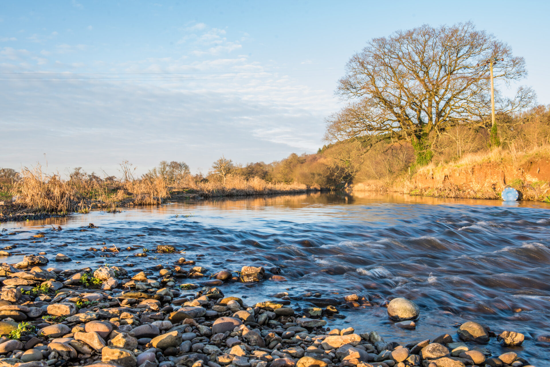
Starting at the 2,500-year-old Iron Age hillfort of Woodbury Castle, this section of the route takes you through a wonderful range of landscapes including open heathland, apple orchards, field footpaths and green lanes.
Sweeping across Collaton Raleigh and Harpford Commons, part of the famous Pebblebed Heaths, it descends to the apple orchards north of Newton Poppleford. From here it’s a short walk across the flood plain of the River Otter and through the village of Harpford to Harpford Woods.
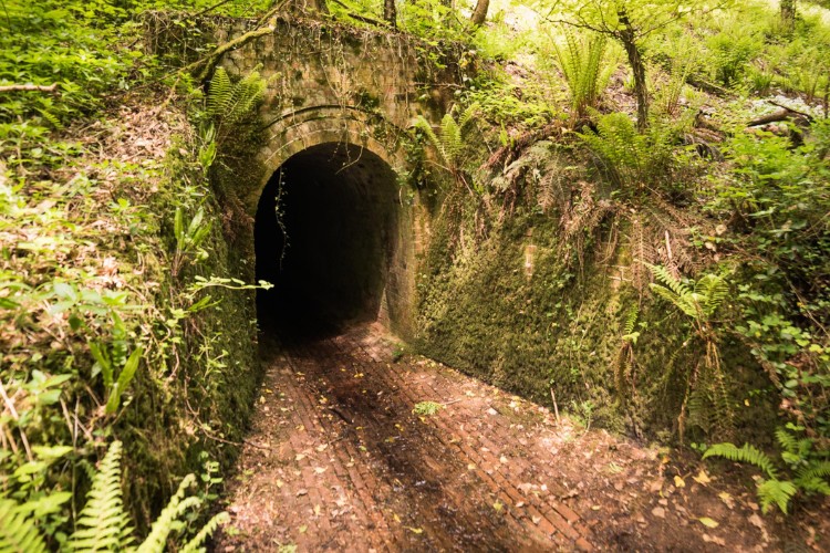
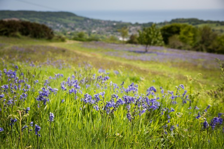
The route passes under the old Feniton to Sidmouth branch line before climbing steeply to the top of Fire Beacon Hill, where on a clear day you will have stunning views out to Sidmouth and the coast. Following the crest of the hill to White Cross the route then descends through thickly hedged green lanes and footpaths to the village of Sidbury.
Additional Information

The whole of the East Devon Way has been waymarked with the foxglove/pink arrow markers to help you find your way.
Gallery
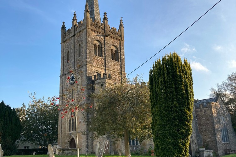
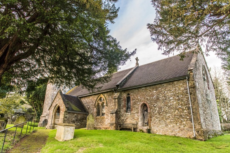
Quick view route description:
1 - 5. Leave the car park....
1. Leave the car park on the side closest to Woodbury Castle and turn right down the path. At the path junction keep right (straight on).
2. Where the track swings right, turn left into the wood. At the path junction bear left to the earth bank and then right alongside it. Follow the path to the end of the wood.
3. Turn left through a gap in the bank and then immediately right to a path T-junction. Turn left alongside the wood.
4. At the path junction turn right.
5. At the Y-junction bear left.
6 - 10. At the next junction go straight on
6. At the next junction go straight on.
7. At the Y-junction bear right.
8. At the path junction turn left.
9. At the cross paths go straight on.
10.At the next path junction continue straight on.
11 - 15. At the cross paths by the pines go straight on.
11. At the cross paths by the pines go straight on.
12. At the next cross paths go straight on.
13. At the cross paths go straight on.
14. At the next path junction go straight on.
15. At the next path junction keep left (straight on).
16 - 20. At the next junction bear right...
16. At the cross paths by the pines go straight on.
17. At the next cross paths go straight on.
18. At the cross paths go straight on.
19. At the next path junction go straight on.
20. At the next path junction keep left (straight on).
21 - 25. At the next junction bear right...
21. At the next junction bear right and then right again.
22. At the cross of tracks under the trees bear slightly left (straight on) and follow the track downhill ignoring all side turns.
23. Where the track divides bear left past a metal barrier and follow the track down to a minor road.
24. At the road turn left and then take the first right after Hawkerland Cross and follow the road uphill.
25. Just before the cattle grid turn left through a wooden gate onto the heath. Follow the track as it curves right and then continue straight on ignoring all side turns.
26 - 30. At the cross paths go straight on
26. At the cross paths go straight on.
27. At the next cross path go straight on.
28. At the cross tracks turn right and follow the track up to a minor road.
29.Go through a wooden gate and cross diagonally left into Joney’s Cross Car Park. Turn left and walk up the left side of the car park and follow the path to the A3052.
30. TAKE CARE crossing diagonally left onto a tarmac drive. Follow it over a cattle grid.
31 - 35. Follow the tarmac drive, ignoring all side turns...
31. Follow the tarmac drive, ignoring all side turns until you come to a second cattle grid. Go through the gate alongside and continue straight on downhill.
32. Where the tarmac drive bears left, keep straight on down a stone track through a metal bridleway gate. Follow the track down to a footbridge.
33. Cross the footbridge and bear left onto a track. Turn right and follow it along the edge of the common to a T-junction.
34. At the T-junction turn right and follow the track to the end.
35. Turn right onto a footpath. Go through the wooden pedestrian gate and follow the path left and then right.
36 - 40. Ignore the footpath on the left...
36. Ignore the footpath on the left and continue straight on.
37. Where the path divides keep left (straight on).
38. At the next path junction keep straight on, then, at the following path junction, turn right and follow the track alongside the fence on the left.
39. Go through a wooden bridleway gate and follow the track straight on.
40. At the path Y-junction bear left then take the footpath on the left.
41 - 45. Follow the fenced path...
41. Follow the fenced path and go through a metal pedestrian gate and down some steps. Follow the footpath around to the right and then left and follow the hedged path to a minor road.
42. At the road turn right and then right again to follow the road past a footpath on the left to a T-junction.
43. At the road junction cross diagonally left and go through a 2 in 1 gate onto a footpath.
44. Follow the hedge on the right up to a metal kissing gate.
45. Go through the gate and follow the footpath on the right of the row of poplars down through the orchard to a path junction.
46 - 50. Turn left for a short distance...
46. Turn left for a short distance and then right down some steps. Follow the hedged path straight on to another flight of steps.
47. Go through a wooden kissing gate and down the steps and turn right. Where the path divides bear left down through the trees to a footbridge.
48. Cross the bridge and follow the footpath arcing slightly left across the field to another metal pedestrian gate and footbridge. This area can be very wet at times.
49. Cross the bridge and follow the path around to the right and through a wooden kissing gate.
50. Go over a sleeper bridge and follow the fence on the left to Harpford Bridge.
51 - 55. Cross the footbridge...
51. Cross the footbridge and beware of river bank erosion on your left as you follow the footpath to a wooden kissing gate. Go through and continue to a minor road.
52. Turn left along the road and follow it to the next junction.
53. Turn left at the T-junction by the church and then take the first right up Knapps Lane.
54. Where the road bears left, turn right along a footpath. Follow the track and, where it divides, bear right to a wooden kissing gate.
55. Go through the gate and follow the path alongside the stream.
56 - 60. At the path junction bear left...
56. At the path junction bear left and go under the railway bridge. Continue straight on up through the woods.
57. At the path jun ction turn right to the road.
58. TAKE CARE going straight across the road onto the footpath to Fire Beacon. Follow the path around to the left to a metal kissing gate. Go through and straight across the track and through a 2 in 1 gate.
59. Follow the fenced path uphill to a metal pedestrian gate. Go through and head diagonally right up the field to a metal kissing gate. These fields are used by The Donkey Sanctuary so you may see donkeys grazing.
60. Go through the gate and up the steps to a minor road and turn right.
61 - 65. Follow the road for a short distance...
61. Follow the road for a short distance and turn left up a bridleway. Follow the path up and around to the right. Continue straight on to a cross paths.
62. At the cross beside the interpretation board, turn left uphill (back on yourself).
63. Follow the path uphill and around to the right. Continue straight on ignoring all side turns.
64. Go straight on at the next junction.
65. At the path junction turn right to a metal bridleway gate. Go through and follow the track along the avenue of beech trees.
66-70. At the path junction bear right...
66. At the path junction bear right and then immediately left. Follow the track to Hollow Head Cross.
67. Go straight across and follow the track to the next junction.
68. Continue straight on along the track.
69. At the Y-junction bear right to a minor road.
70.Go straight across the road and follow the track to a 2 in 1 gate and stile.
71-75. Go through the gate and head straight down...
71. Go through the gate and head straight down the field towards the wood. Bear to the left of it and follow the edge of the wood to another 2 in 1 gate.
72. Go through the gate and follow the fence on the left.
73. Go through the gateway and bear right down the field to a 2 in 1 gate.
74. Go through the gate and follow the hedged track downhill. Go through one metal field gate and continue straight on.
75. Go through a wooden field gate and continue straight on past Goosemoor Farm on the left.
76-81 Where the track divides turn right...
76. Where the track divides turn right over the bridge and follow the road for a short distance. Turn left through a 2 in 1 gate onto a footpath through fields.
77. Follow the hedge on the right to a gateway.
78. Go through the gap and turn left. Follow the hedge on the left down to a track.
79. Go past a barn on the right and follow the track straight on.
80. Go straight across the drive and follow the track between buildings to the A375 through Sidbury.
81. TAKE CARE crossing the road and turn left along the pavement to the junction with Bridge Street.