Projects
Parishscapes
Brining the past into the modern day
Parishscapes
Brining the past into the modern day
Parishscapes
Brining the past into the modern day
Project Overview
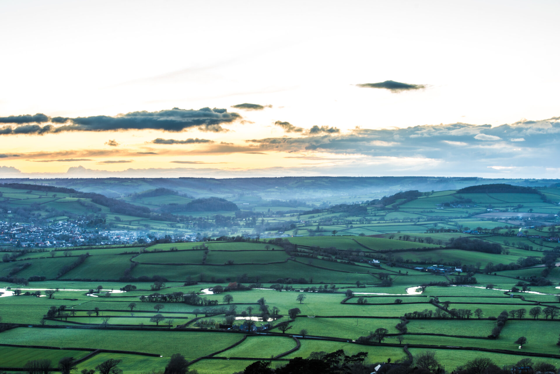
This community initiative digitised the tithe maps for all parishes within the East Devon National Landscape, opening them to the public for the first time. By providing online access to these records, the project has heightened awareness of our local history and highlighted the enduring connection between these historical maps and our modern landscape.
Beyond the maps, we brought the past to life through community archaeology, exhibitions, and guided walks. We collaborated with local schools to develop new wildlife study resources and recorded oral histories to preserve personal insights into our changing landscape. This project was delivered 2007 to 2010.
Tithe Maps
View the digital tithe maps on the Devon County Council Environment website. Simply select your parish from the drop-down menu at the bottom of the page.
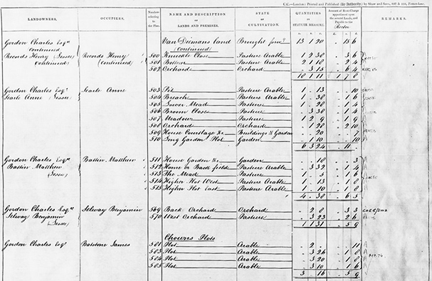
Land Records - 'Apportionments'
Explore the history of every field and building. Our volunteers have transcribed the original, hand-written land records (apportionments) to help you easily identify owners, tenants, and historical land use. Access both the original scans and the new transcriptions online
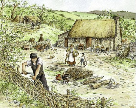
Excavation of a deserted cottage at Summerdown
A group of volunteers had been investigating ‘disappeared houses’ in the parishes of Northleigh and Offwell. These are buildings which are marked as dwellings on the tithe map but are now no longer lived in. To find out more, this excavtaion was completed as part of the project.
Lees Cottage is just one of hundreds of deserted cottages and small farms which lie at the end of forgotten lanes, hidden in the valleys of Devon and West Somerset.
The excavation at Lees Cottage has shown that their humble outward appearance conceals a wealth of information, both about the buildings and about the people who lived in them and worked on the land.